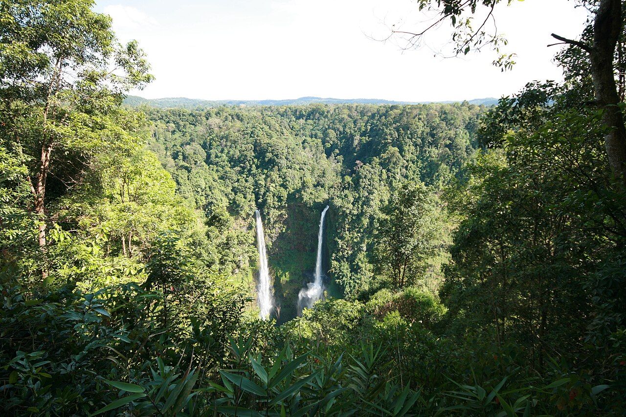

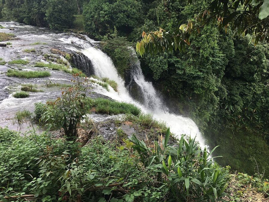
 Tad Yuang and the Pool Below
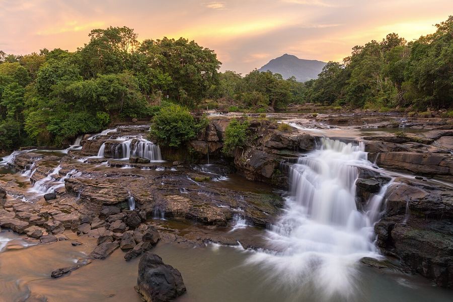 Tad Lo: a slow walk between the falls
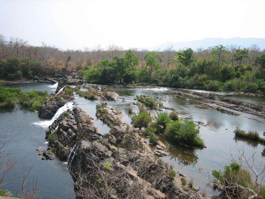 Tad Sekatamtok and the big falls of the east
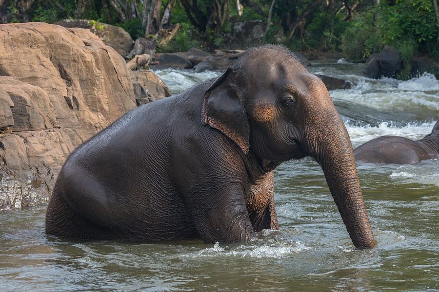 Tad Hang and Tad Suong, Either Side of Tad Lo
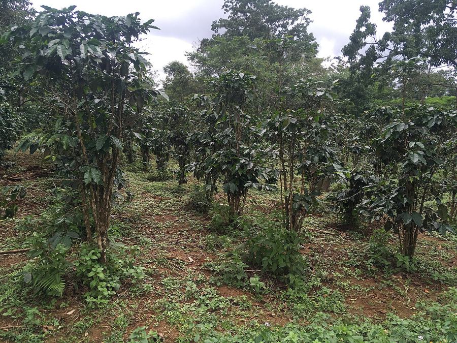 Paksong and the Coffee of the Bolaven
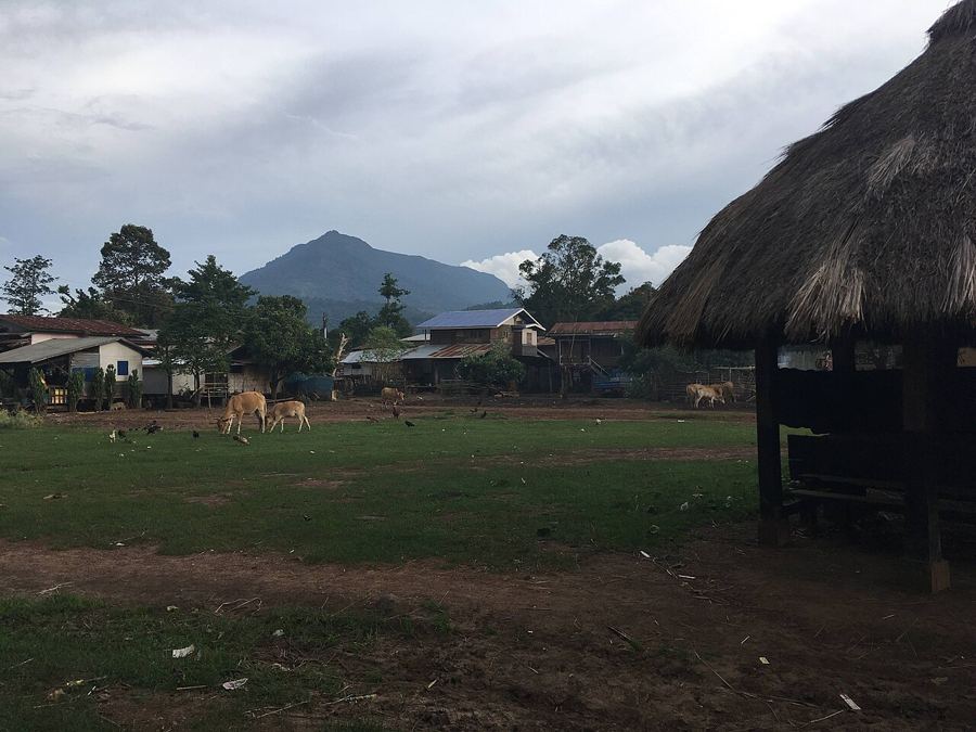 How to Visit Plateau Villages with Respect
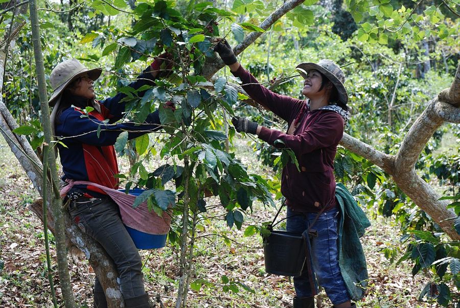
How Coffee Came to the Bolaven Plateau
Coffee on the Bolaven grew from early Arabica and leaf rust through abandoned plantations to renewed growth and a place among Laos’s leading agricultural exports.
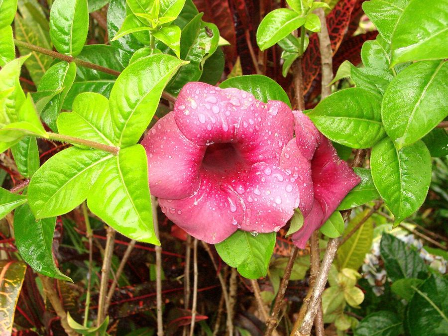
The Bolaven loop by motorbike
A plain route guide for the ride from Pakse: the shorter circuit, the longer eastern stretch, fuel, road surfaces and the hazards worth keeping in mind.
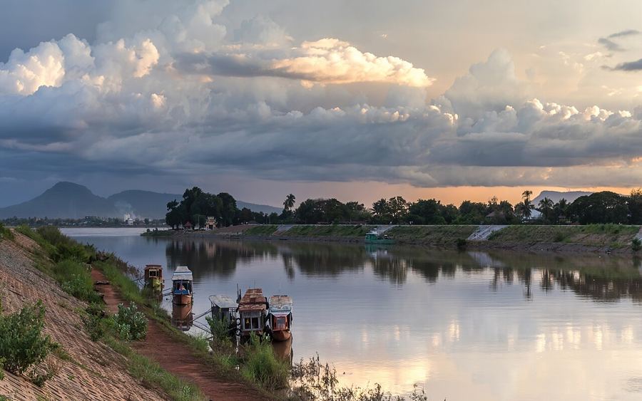
Pakse, Where Two Rivers Meet
Pakse's rivers set the order: the Xe Don and Mekong, then the river-shaped centre, market, temple and evening bankside life.
Bolaven Falls
Bolaven Plateau waterfalls, coffee country and the southern Mekong.The Bolaven Plateau rises to about 1,000–1,350 metres in southern Laos, between the Mekong and the Annamite Range. Named for the Laven people, it grows most of Laos’s arabica and robusta coffee. At its western edge, Tad Fane drops about 120 metres into a gorge. These pages range from the plateau’s falls and loops to Pakse, Champasak and Si Phan Don, where the Mekong reaches Cambodia and Khone Phapheng is the largest waterfall in Southeast Asia by volume. The wet season runs roughly May to October; the cool, dry months from November to February. Southern and eastern Laos were heavily bombed during the war, and unexploded ordnance remains.
Pakse, where the Xe Don meets the Mekong, is the starting point for the south. The plateau rises between the Mekong and the Annamite Range; these pages move from there to Pakse and Champasak, then to Si Phan Don, where the Mekong reaches Cambodia. That’s the shape of the area, with Pakse as the clear starting place.
60 stories in 6 regions of southern Laos
Waterfalls9
The plateau’s falls drop over hard basalt edges into forested gorges. Tad Fane, Tad Yuang and Tad Gneuang cluster along Route 16 below Paksong; Tad Lo has falls upstream and downstream of the village. In the rains they run brown and loud. By April, they thin out.
- Tad Fane: the twin falls into the gorge
- Tad Yuang and the Pool Below
- Tad Lo: a slow walk between the falls
- Tad Champee, Tad Gneuang and Tad Itou
- Tad Sekatamtok and the big falls of the east
- Tad Hang and Tad Suong, Either Side of Tad Lo
- What the Falls Do in the Rains
- How to Swim Below a Waterfall Without Regret
- Dong Hua Sao, the Forest Under the Falls
Coffee Country11
Coffee Country is where Laos grows most of its coffee. Paksong, the plateau’s main town, sits at about 1,200 metres. The Laven, Alak, Katu and other peoples who speak Mon-Khmer languages call the plateau home. Its cool, wet climate is a sharp change from the Mekong lowlands.
- Paksong and the Coffee of the Bolaven
- How to Visit Plateau Villages with Respect
- How Coffee Came to the Bolaven Plateau
- Arabica and robusta, side by side
- A day in the coffee harvest
- Who the Bolaven Plateau Is Named For
- A Plateau Made of Lava
- Tea, Cardamom and Cabbages on the Bolaven Plateau
- Paksong, a Town of Cool Mornings
- The Southern Laos Year, Month by Month
- Visiting a Plateau Village: The Short Version
The Loops10
The Bolaven loop circles the plateau from Pakse by motorbike. Route 16 and Route 20 are the two roads up from Pakse; the big loop adds Sekong and Attapeu in the east. Pakse is reached by air, by sleeper bus from Vientiane, or from Thailand at Vang Tao.
- The Bolaven loop by motorbike
- The small loop in three days
- The Big Loop Through Sekong and Attapeu
- Red Mud and the Rainy-Season Road
- What Goes in the Bag for the Plateau Loop
- Thateng, Where the Plateau Roads Meet
- Salavan, the Quiet Provincial Capital
- Up Route 16 from Pakse
- Reaching Pakse and Moving Around the South
- Over the Border at Vang Tao
Pakse & Champasak11
Pakse stands where the Xe Don meets the Mekong. Around Pakse and Champasak are markets, weaving villages and small Khmer ruins; Champasak was the seat of a Lao kingdom from the early 18th century. Wat Phou is a Khmer temple and UNESCO World Heritage site.
- Pakse, Where Two Rivers Meet
- Wat Phou: climbing the mountain temple
- Champasak Town and Don Daeng by Bicycle
- The Golden Buddha Above Pakse
- The Champasak Historical Heritage Museum
- The weaving village up the Mekong
- Hong Nang Sida and the Ruins South of Wat Phou
- The Full-Moon Festival at Wat Phou
- Um Muang, among the trees
- What to Eat in Southern Laos
- Dao Heuang, the Great Market of Pakse
Four Thousand Islands9
At Si Phan Don, the Mekong braids into countless islands at the Cambodian border. Khone Phapheng is the largest waterfall in Southeast Asia by volume. The French built a short railway across Don Det and Don Khon; a pool south of Don Khon was once home to the Mekong’s Irrawaddy dolphins.
- Si Phan Don, the Four Thousand Islands
- Khone Phapheng: Where the Mekong Meets Its Barrier
- The Mekong’s Last River Dolphins
- The Old French Railway on Don Det and Don Khon
- Li Phi, the Falls of the Spirits
- Don Khong, the Big Quiet Island
- Don Det, from sunrise to sunset
- The channel and the dam at Hou Sahong
- The French and the river road to China
The East10
Sekong and Attapeu are remote river provinces on the Vietnamese and Cambodian borders. South-east of Pakse, Xe Pian protects wetlands and forest. The Ho Chi Minh Trail ran through the eastern hills, which were heavily bombed during the war; unexploded ordnance still lies in much of the south and east.
- East to Sekong and Attapeu
- Xe Pian: wetlands and forest in the south
- UXO in Laos: why staying on cleared paths matters
- Kiet Ngong and the Marsh at Xe Pian’s Edge
- Phou Asa and the Stones on the Hill
- The Ho Chi Minh Trail in the eastern hills
- The 2018 Dam Collapse in Attapeu
- Down the Xe Kong
- Tad Faek and the Falls Near Sekong
- Katu Weaving and Beadwork in Sekong
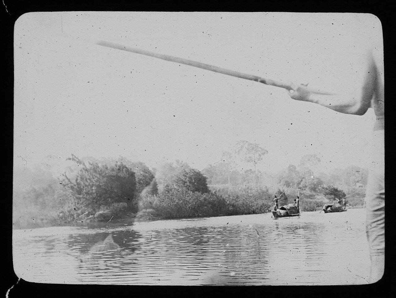
A map gives the Xe Kong a clean line. The river links upland origins, riverside towns, village boats, fish migration and a meeting with the Mekong in Cambodia.
Photograph: Barthélemy, Pierre de (1870-1940). Chef de la mission. Photographe dePhotos by Christophe95 – CC BY-SA original; Basile Morin – CC BY-SA original; Prince Roy – CC BY original; Basile Morin – CC BY-SA original; Christophe95 – CC BY-SA original; Christophe95 – CC BY-SA original; Thomas Schoch – CC BY-SA original; Adam Jones Adam63 – CC BY-SA original; Basile Morin – CC BY-SA original; Barthélemy, Pierre de (1870-1940). Chef de la mission. Photographe de – PD original


